

G-Tracker - GPS Logger

وصف لـG-Tracker - GPS Logger
G Tracker is an application that uses Android's built-in GPS to track the current position.
It is an application called so-called gps logger.
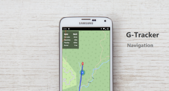
It also works as a gpx viewer and navigation app.
[About GPS Logger]
GPS logger is a device that records travel routes using GPS satellites.
If you move using a GPS logger, you can check what route you followed later.
You can use it for mountain climbing and cycling to check the passing area.
[Main usage]
Power saving and long time gps logger
gps logger for high battery consumption but detailed trajectory data recording
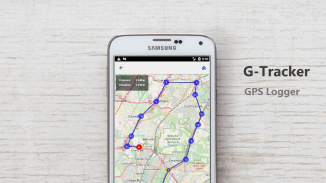
Confirm travel history and routes such as travel and cycling.
Navigation using travel history such as travel and cycling is possible
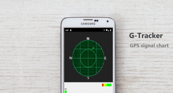
It is possible to see satellite information of gps.
You can see geotagged photos on the map.
Acquired records can be exported to GPX file and displayed by other applications
GPX files can be imported and used as GPX viewers.
[function]
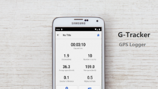
Record route information.
Create route information.
Record location information at specified intervals.
Graph display of speed and elevation
Confirmation of GPS satellite information
Create markers from geotagged photos.
Route information, route information, and waypoints are stored in internal memory (GPX).
Night mode support.
GPX file import
Display of photo marker
◇ Notes
Because GPS is used when recording route information, battery consumption is large.
Use openstreetmap for map display.
G Tracker هو تطبيق يستخدم نظام GPS المدمج في نظام Android لتعقب الموضع الحالي.
ذلك هو تطبيق يسمى مسجل GPS.
كما أنه يعمل كمشاهد gpx وتطبيق الملاحة.
[حول GPS المسجل]
GPS المسجل هو جهاز يسجل طرق السفر باستخدام الأقمار الصناعية GPS.
إذا كنت تتحرك باستخدام مسجل GPS ، فيمكنك التحقق من المسار الذي اتبعته لاحقًا.
يمكنك استخدامه لتسلق الجبال وركوب الدراجات للتحقق من منطقة المرور.
[الاستخدام الرئيسي]
توفير الطاقة ووقت طويل لتحديد المواقع المسجل
نظام تحديد المواقع المسجل لارتفاع استهلاك البطارية ولكن مفصلة تسجيل بيانات المسار
تأكيد سجل السفر وطرق مثل السفر وركوب الدراجات.
التنقل باستخدام سجل السفر مثل السفر وركوب الدراجات ممكن
من الممكن رؤية معلومات الأقمار الصناعية لنظام تحديد المواقع العالمي.
يمكنك مشاهدة الصور ذات علامات جغرافية على الخريطة.
يمكن تصدير السجلات المكتسبة إلى ملف GPX وعرضها بواسطة تطبيقات أخرى
يمكن استيراد ملفات GPX واستخدامها كمشاهدة GPX.
[وظيفة]
سجل معلومات الطريق.
إنشاء معلومات الطريق.
سجل معلومات الموقع على فترات زمنية محددة.
عرض الرسم البياني للسرعة والارتفاع
تأكيد معلومات الأقمار الصناعية GPS
إنشاء علامات من الصور ذات علامات جغرافية.
يتم تخزين معلومات المسار ومعلومات المسار ونقاط الطرق في الذاكرة الداخلية (GPX).
دعم الوضع الليلي.
استيراد ملف GPX
عرض علامة الصورة
◇ ملاحظات
نظرًا لاستخدام GPS عند تسجيل معلومات المسار ، يكون استهلاك البطارية كبيرًا.
استخدام openstreetmap لعرض الخريطة.


